Mayfield Cycleways
City of Newcastle is increasing accessibility for the community by building safe and attractive new cycleways for use by residents of all ages in Mayfield and surrounding areas. These new cycleways will link residential, commercial and activity areas and connect with regional routes.
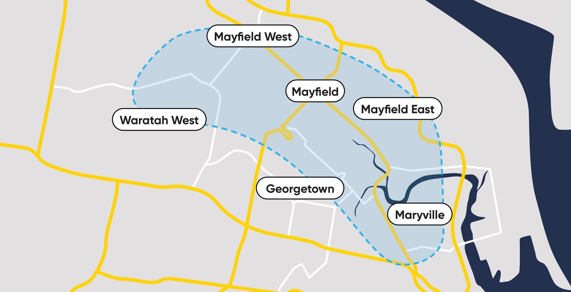
The map below shows Mayfield and the surrounding areas that are part of the feasibility study. The area includes key nodes and activity areas such as Steel River, Hunter TAFE, Waratah Station, Warabrook Station, the University of Newcastle Callaghan Campus (via Waratah and Warabrook Stations) and Mayfield's commercial area (click on the map for a more detailed version to appear):
Thanks for having your say!
The initial consultation (Phase 1) has now concluded. The purpose of the engagement was to get feedback on possible routes, allow for the proposal of alternative routes, identify sections of concern and get a clearer understanding of the barriers the community currently faces with cycling. This early stage of engagement targeted both current and potential new users, and involved key stakeholders including user groups, cyclists, residents and students.
Read the Engagement Report to find out what we heard.
Next steps
A concept plan is being developed and will be placed on public exhibition in late 2024 (Phase 2).


