
Getting Here
At the heart of Newcastle’s Cultural Precinct, Newcastle City Hall can be found opposite Civic Park, next to Civic Theatre Newcastle and the University of Newcastle's city campus, and adjoining Wheeler Place.
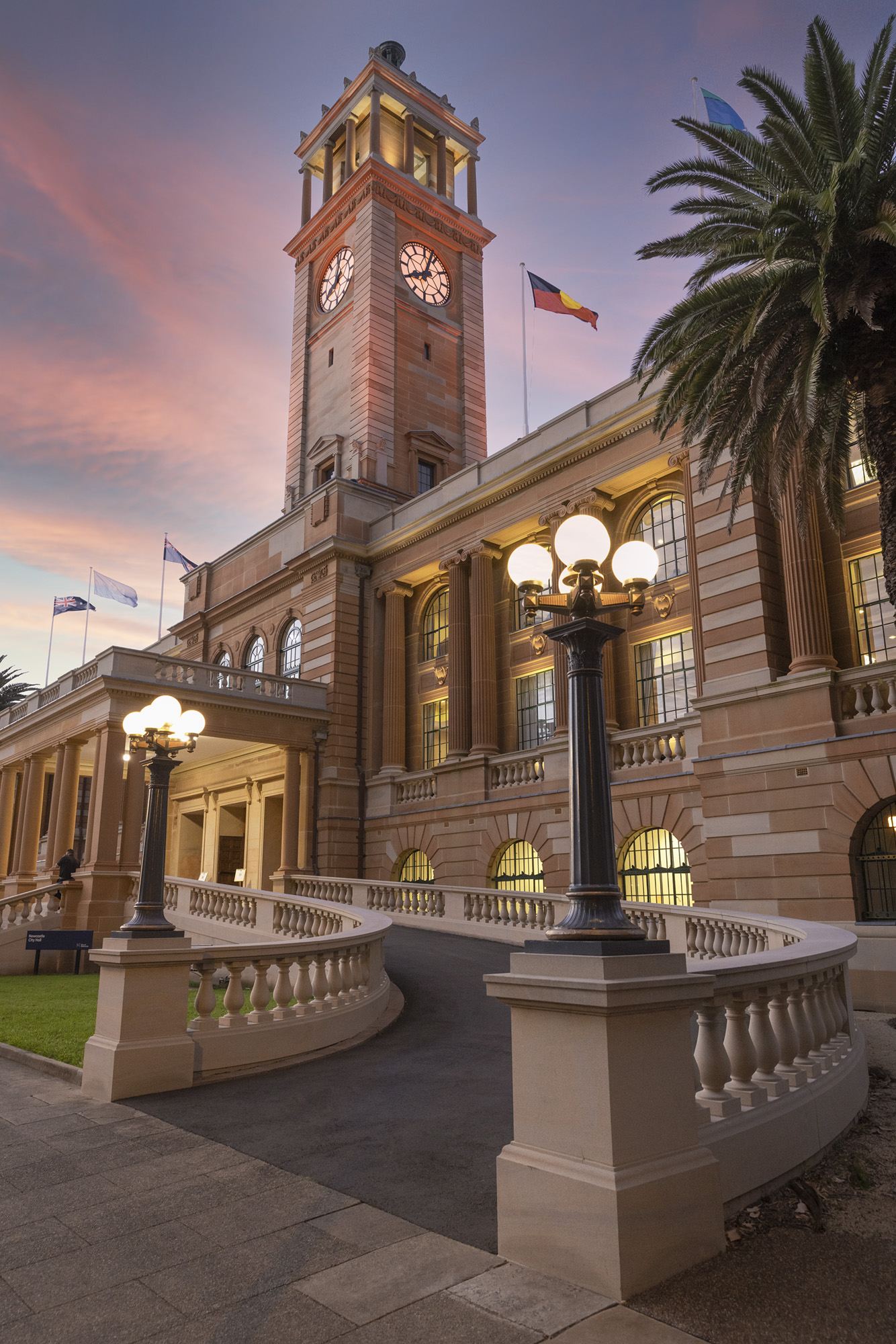
Located at 290 King Street, Newcastle, Newcastle City Hall is only a short walk to the Honeysuckle Foreshore, great hospitality precincts like Darby Street, and multiple accommodation offerings.
How To Get To Newcastle City Hall
By Bike and Walking: City Hall's central location makes it ideal to arrive by foot or bike. It is within walking distance from Newcastle Beach, Darby Street, King Edward Park, The Junction, Marketown, the Stockton Ferry and more. Cyclists can take advantages of bike routes found in the Newcastle cycling map - these take you close to City Hall with the following directions to arrive at the front door (or bike parking):
- From the Foreshore bike path (with cycle connections to the east and north west) turn off at the Rydges Newcastle, crossing Workshop Way* and travel along Merewether Street (east of the Museum), crossing Hunter Street and heading through Wheeler Place.
- From Laman Street (with cycle connections to the south and west), turn into Auckland St and along King St (or cross through Civic Park if you have children). Cross at the pedestrian crossing*.
- Bike parking is situated on King Street between City Hall and the Kingsley Hotel (2 wave with holes style racks), and next to the pedestrian crossing in Civic Park (3 U-rail racks)
*Note you should dismount your bicycle for the pedestrian crossings
By Public transport: Trains, buses, light rail and a ferry service can all help you get to City Hall, with accessible transport options to help everyone access the venue. An Opal Card, or a credit/debit card, allows easy access to all public transport ticketing throughout the City. Use trip planner or an app such as Opal Travel to plan your trip.
Train: All trains terminate at the interchange. From there you can take the Light Rail from the interchange or the 11 or 13 bus from Hunter Street
Ferry: The ferry connects Stockton to the city centre and can offer a pleasant final leg to arrive from Port Stephens locations, including the Newcastle Airport.
Light rail: The closest light rail stop is "Civic" and connects to destinations between The Interchange and Newcastle Beach, including the ferry terminal at Queens Wharf.
Bus: The closest stop, "University House, King St" (Stop ID 230048), is located just west of City Hall and is services by buses 11 (from Jesmond, University and Mayfield), 13 (from Glendale, John Hunter Hospital and New Lambton) and 23 (from Wallsend and North Lambton). The bus stop "Newcastle Art Gallery, Darby St" (Stop ID 230067) is serviced by bus 14 (from Swansea, Charlestown and Kotara)
By Taxi: Two local taxi companies are Newcastle Taxis (131 008) and Newcastle Hire Cars (02 4960 1800).
Parking: You can find accessible parking with the City of Newcastle's accessible parking map.
There are a range of on-street and off-street parking options. On-street parking can be paid for at the parking meter or using the EasyPark app.
How To Get To Newcastle
By Train: Intercity trains come directly from Sydney (2.5 hours), Maitland (30 minutes), Dungog (1 hour) and Scone (2 hours) to Newcastle Interchange. NSW Trainlink services arrive at Broadmeadow Station.
By Regional bus: Regional buses arrive at the Newcastle Interchange from Taree, Nelson Bay, Raymond Terrace, Cessnock and other locations.
By Private vehicle: It takes approximately 2 hours from Sydney along the M1 Freeway.
By Air: Newcastle Airport (Williamtown) is the major regional airport and is located 30 minutes drive or 1 hour by public transport from Newcastle city centre. Many direct flights are available on a daily basis from Sydney, Melbourne, Canberra, Brisbane and the Gold Coast.
Accommodation
There are around 2000 accommodation rooms within a 10 minute radius! Explore the accommodation options on the Visit Newcastle website.