Smart City technology to increase access to Aboriginal language and heritage
28 May 2018
Smart City technology is helping to bring the language and heritage of the Awabakal and Worimi peoples to a broader audience as part of a reconciliation project.
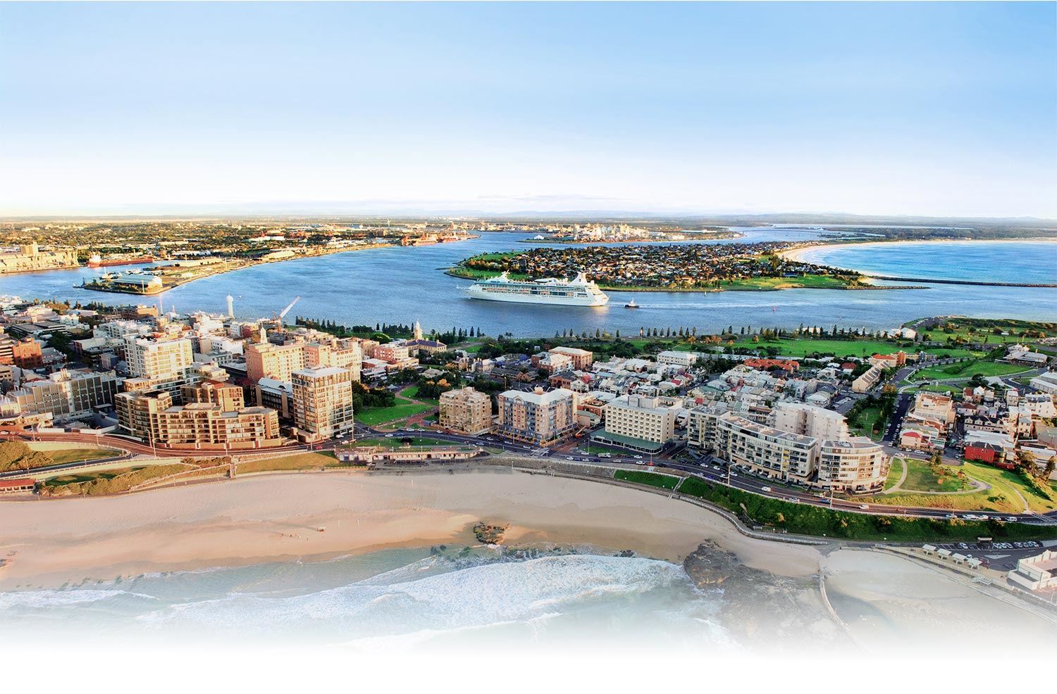
Newcastle City Council is trialling new interactive signage for the names of eight landforms, including the Harbour, Nobbys Headland and Shepherds Hill, to increase the visibility and usage of dual names at the sites.
Council is also leading a partnership to develop a virtual reality (VR) package that will immerse the viewer in the landscape of Newcastle prior to European settlement. The VR package will be launched during NAIDOC Week 2018.
"It is fantastic that the use of technology can actually bring us closer to Aboriginal heritage, and help us to preserve and educate about Indigenous heritage and language," said Newcastle Lord Mayor Nuatali Nelmes.
"The interactive signage and the VR package are exciting examples of how smart city tools and technology can be applied to very specific uses. I'm very proud of this effort to honour and preserve Aboriginal culture in our region."
The Lord Mayor added that a short taster video is now available for the community to get a sense of what the VR package will be like.
View the video online
"I encourage everyone to check out this unique video in preparation for the full VR launch in NAIDOC Week," she said. "I was fortunate to participate in a recent demo of the package and it's amazing - it draws the viewer right into the landscape and life of the people."
Eight landforms within the Newcastle local government area have received dual names and Council is trialling the use of interactive signage to increase the visibility and usage of dual names in everyday language, events and tourism opportunities.
The signs will utilise smart sensors to note when a person walks by, triggering the sign to say the Aboriginal name of the location through its speaker system, informing passers-by of the dual name.
In addition to speaking the Aboriginal name, the signs provide history and stories about each of the sites, reinforcing Aboriginal principles of respecting Country and ensuring the protection of sacred spaces.
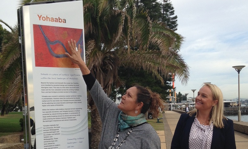
Local Aboriginal artist Saretta Fielding created artwork for the signage depicting the Hunter River.
Both the creation of the signage and the development of the VR package have involved significant partnerships as well as participation and support from the Aboriginal community, according to Ian Rhodes, Council's Coordinator Community Planning.
"This has been a very respectful, collaborative process to ensure that culturally appropriate stories are shared and that the development of the product is led by local people," said Rhodes.
The first sign has been installed along Joy Cummings Promenade near the Queens Wharf, signifying the dual named landform of Port Hunter or Yohaaba. After a trial period for this first sign to check how the components hold up in the elements, the others will be installed, hopefully in time for NAIDOC Week.
The dual naming project is an initiative of Council's Guraki Aboriginal Advisory Committee.
Contributors and partners in the VR project include the University of Newcastle, Miromaa Aboriginal Language and Technology Centre, NSW Office of Environment and Heritage, and local company Virtual Perspective.
The eight dual named landform features are:
Whibayganba - Nobbys Headland
Tahlbihn - Flagstaff Hill
Burrabihngarn - Pirate Point
Yohaaba - Port Hunter
Coquun - Hunter River (South Channel)
Khanterin - Shepherds Hill
Toohrnbing - Ironbark Creek
Burraghihnbihng - Hexham Swamp
Image above: Local artist Saretta Fielding (left), who created artwork for the interactive dual naming signage, joins Newcastle Lord Mayor Nuatali Nelmes to unveil the first of the eight signs, which was installed along the Joy Cummings Promenade at Foreshore Park.