
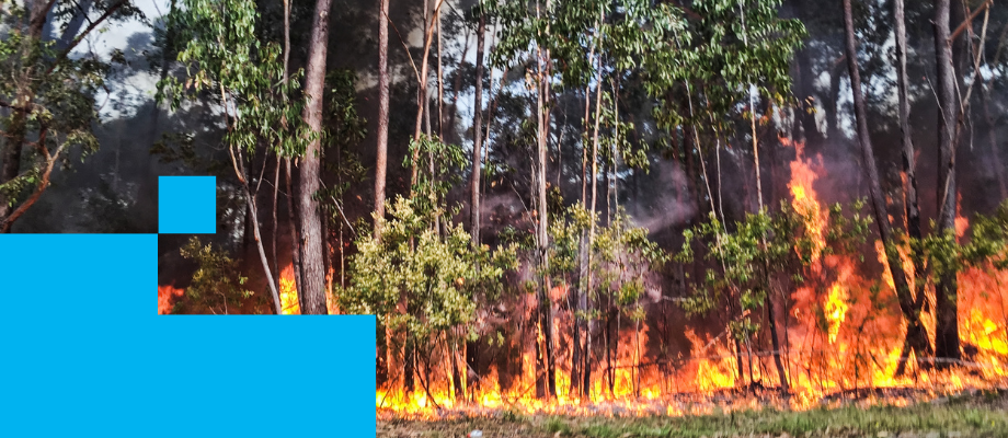
Bush Fire
Bush fire prone land is an area of land that can support a bush fire or is likely to be subject to bush fire attack.
Bush Fire Prone Land Map
Bush fire prone land maps are prepared using the NSW Rural Fire Service's (NSW RFS) 'Guide for Bush Fire Prone Land Mapping'. Maps are required to be certified by the Commissioner of the NSW RFS and updated every five years to reflect changes in vegetation or legislation.
Is my property mapped as bush fire prone land?
What do the colours on the bush fire prone land map mean?
Are there specific requirements for development on bush fire prone land?
What information regarding bush fire risk must be submitted with a development application?
Will my development application be referred to the Rural Fire Service?
Being Bushfire Prepared