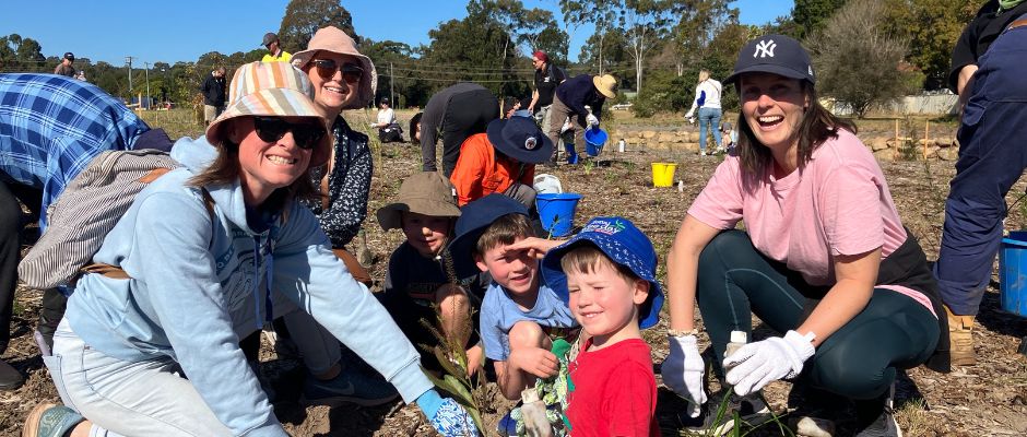
Green space mapping

HeroImage

Map your favourite green spaces!

When travellers met in the outback and shared their news and stories around the campfire they would often draw maps in the dirt to tell a story about where they’d been. When it rained, these became mud maps!

We’re working with brilliant local illustrator Liz Anelli to create some giant mud maps of Newcastle’s green spaces and we’d love to include your favourite places. By 'green space' we mean areas that have grass, trees, shrubs and other plants.

Watch Liz drawing her map in this video and then follow the instructions below to make your own.

Make your mud map

  1. Type the name of your suburb in Google Maps
  2. Zoom in so you can read all of the street names
  3. Take a screen shot and crop out anything you don’t want in the image and print it out at A4
  4. Trace the map onto a blank sheet of paper using a window as a lightbox
  5. Now you’re ready to take your map for a walk! Wander around your neighbourhood, marking on your map any parks, bush reserves, creeks, lovely big trees and beautiful front gardens you pass. Include your favourite places to play, climb, and ride your bike.
  6. Draw any wildlife you see, such as birds, insects, bats (or monsters that hide in hedges!).
  7. So that your map doesn’t get too fiddly, use symbols and create a key or legend to explain what’s what in your map.
  8. Give your map a caption to explain what it shows (e.g. My favourite green spaces in New Lambton)

Please email your finished maps to Liz at hi@lizanelli-illustration.com