Catchments and Watercourses
Wherever you live in Newcastle, you live in a catchment: an area of land that drains eventually to a single point.
What is a catchment?
The rainwater that runs off our roofs, roads and footpaths flow into our local waterways and out onto our beaches, and will eventually end up at the bottom of the catchment along with whatever stormwater pollution it picks up along the way.
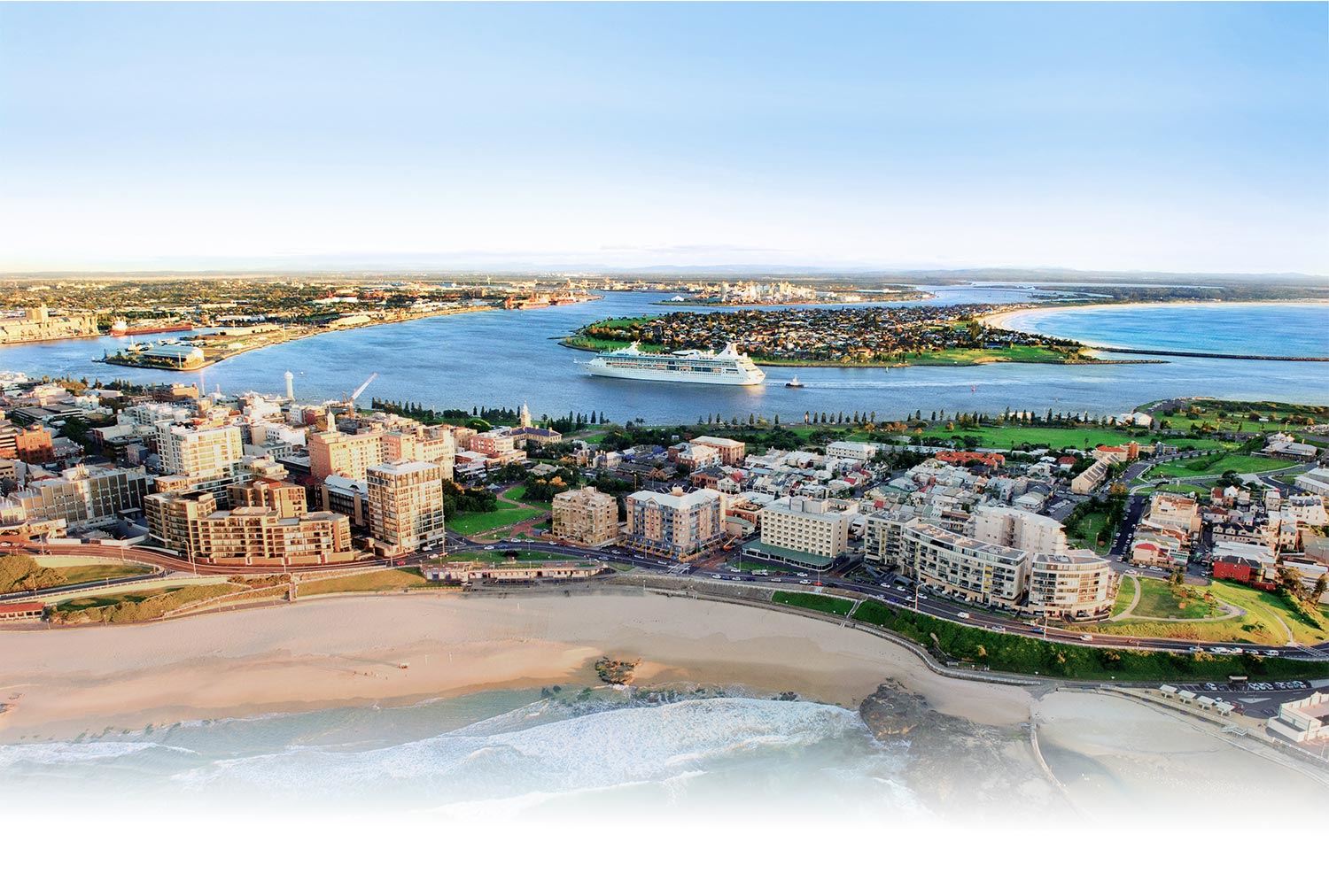
Within the Newcastle Local Government Area, there are many smaller sub-catchments that form part of the larger Hunter River Catchment, one of the largest coastal catchments in New South Wales.
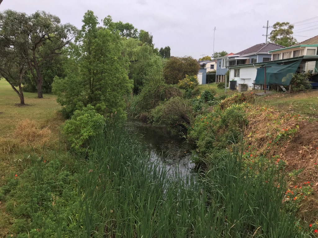
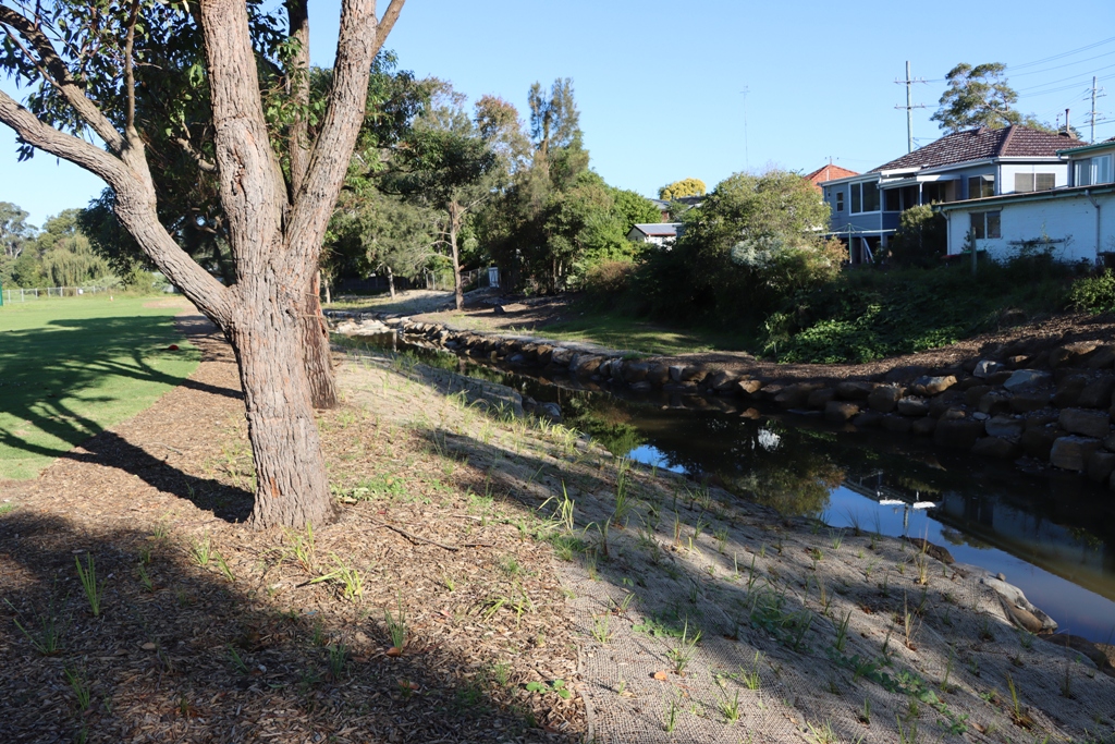
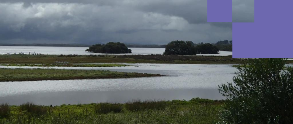
Some catchments in Newcastle are still in a relatively natural state while others have been heavily developed, with natural creek lines replaced by concrete channels to control flooding in the 1930’s. The remaining areas of bushland, wetlands and creeks are important ecological, recreational and visual assets valued highly by the community.
We are responsible for managing 65 wetlands, 79 km of creek and 8 km of river wall, and with your help, are working to rehabilitate our important watercourses.