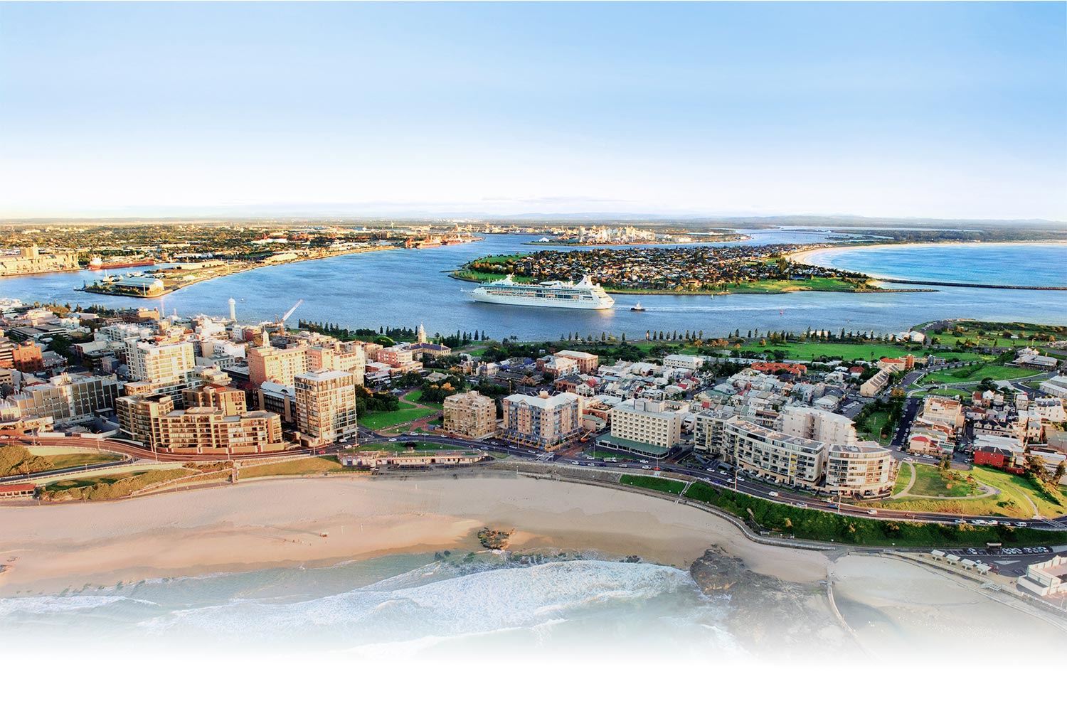
Hunter River
The Hunter River flows from the largest coastal catchment in NSW to the sea in our city. The river begins in the Mount Royal Range in the Barrington Tops, and flows around 460km down to the ocean in Newcastle, covering an area over 21,500 square km.
Hunter Estuary
The Hunter Estuary is the tidal portion of the Hunter River. The estuary extends up to the tidal limit of the Hunter River at Oakhampton (65km from the ocean), the Paterson River at Gostwyck (75km from the ocean), and the Williams River at the Seaham Weir (46km from the ocean).
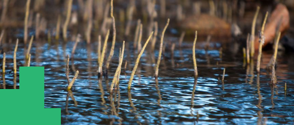
The Hunter Estuary is recognised as the most important migratory shorebird habitat in NSW, and our estuarine wetlands are internationally important (Ramsar wetlands) for threatened species and migratory shorebirds.
The Hunter Estuary is one of the most complex estuaries in NSW to manage because it is subject to a range of pressures from mining, agriculture, industry and urbanisation - but is also home to internationally important shorebirds and wetlands.
Significant conservation areas are found within the Hunter Estuary, including the Hunter Wetlands National Park and Hunter Wetlands Centre.